
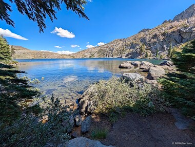
Another chapter in our summer Kirkwood pilgrimage.
After enjoying the captions below, you can view larger versions of the photos by clicking on them. This will open a new tab in Google Photos. Use its menu to start a slideshow, or select a photo and press the Info button to view captions and maps.
Strictly speaking, carrying three loads of our gear up three flights of stairs last night counted as an acclimation hike. Kirkwood is located at 7,800' and you feel it.
Climbing to the top of the Red Cliffs is a scenic hike with great views at the top. Shep's Lake was about half as large as it was the last time I was here in August, 2015.
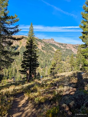
Lori climbs up through the Kirkwood Ski Area under Glove Rock. |

Me and Lor at the top of Red Cliffs (8,575') with the Desolation Wilderness in the background |
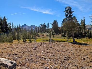
A diminished Shep's Lake with Round Top and The Sisters in the distance |
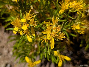
Bloomer's goldenbush. |
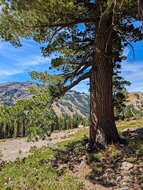
Western white pine |
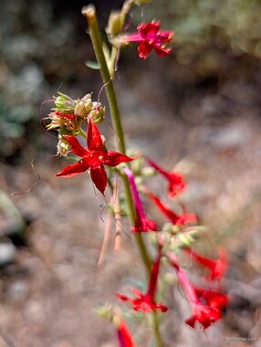
Scarlet gilia |
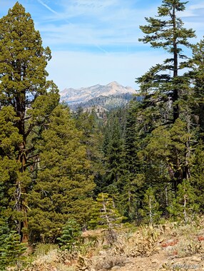
A nicely framed view of the Desolation Wilderness on our descent |
|
One of Lori's pickleball buddies Eric, who lives up here, joined us on today's hike to Lake Margaret. Two of the log crossings we made just last year have been replaced by nice bridges.
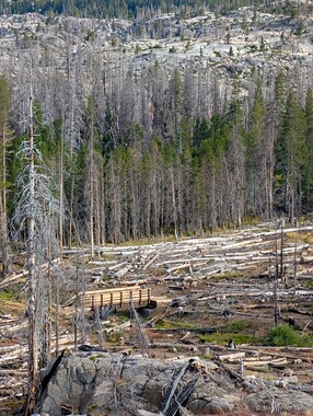
We were surprised to see a new bridge where the first of three log crossings had been |

Eric and Lori clearly prefer the bridge over the log. |

Fireweed |

These ponds are a lot lower and have a lot more organic matter than last year. |

These ponds are a lot lower and have a lot more organic matter than last year. |

We came out for birding, and all we got was this thumb-sized rubber duckie. |

Lori on the massive bridge that replaced the third log crossing |

Eric enjoys our lunch spot at Lake Margaret. |
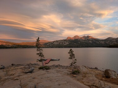
Vera, Eric, Sandy, Lori, and I had dinner at the Caples Lake Resort Restaurant and were treated to a lovely sunset with interesting clouds. |
|
Vera, Lori, and I parked in the Woods Lake Campground overflow parking area ($10 cash) and hiked the Round Top Lake and Winnemucca Lake loop counter-clockwise so that the short, steep section would be uphill.
We lingered for a moment at the Lost Cabin Mine, not to be confused with a mine of the same name in Shasta County. The mine's content is described at:
Interestingly, the locations shown in these sites (38.681944°N, 120.013889°W; 38.6819°N 120.0148°W) puts the mine about 100 - 200 m to the east of the entrance we saw so perhaps there is some more exploring to do.
We had a nice lunch at the windy Round Top Lake before heading back past Winnemucca Lake and Woods Lake near the car.

The trail from the Woods Lake trailhead climbs quickly above Woods Lake and provides views to Elephants Back. |
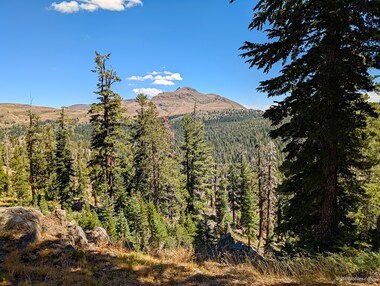
A view of Red Lake Peak from the trail |

An old auto chassis in front of the Lost Cabin Mine. How did an auto get up here? |

I guess this is the remnants of the Lost Cabin. |
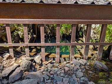
The Lost Cabin Mine is enclosed to discourage entry. |
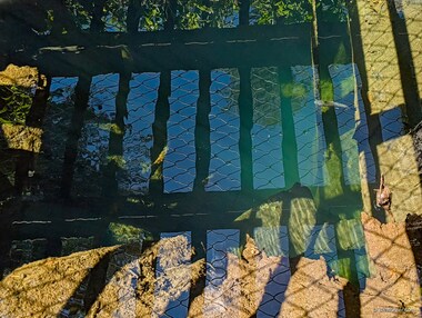
The only souls exploring this mine are trout! |
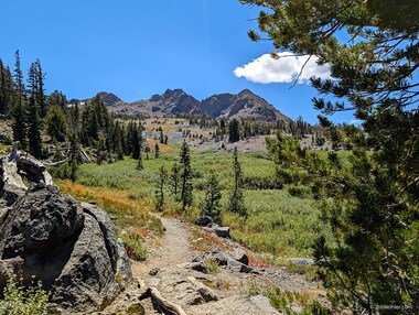
The mountain range behind Round Top Lake |

Me, Lori, and Vera |
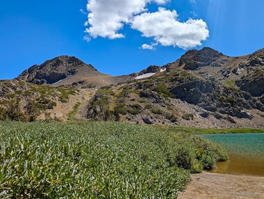
A view of Round Top and The Sisters beyond Round Top Lake |
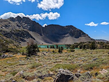
Another view of Round Top Lake and the mountains beyond it |
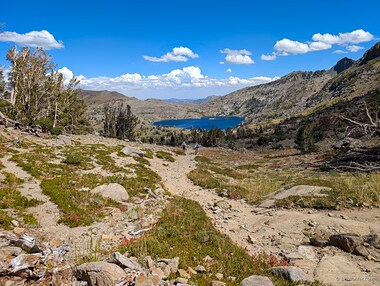
Our first glimpse of Winnemucca Lake |
Winnemucca Lake is quite clear. |

Lori and Vera on the trail with Round Top in the distance |
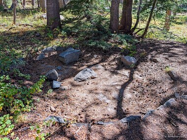
An arrastra for grinding the gold ore from the mines in the area |
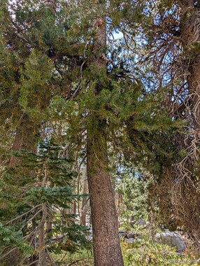
Lodgepole pine |
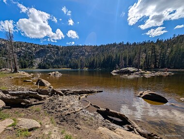
Woods Lake seems to be a fun spot for fishing, paddleboarding, boating, and hanging out on the beach. |
Vera joined Lori and I again on a lovely hike around Frog Lake and then on to the far side of Elephants Back.
We parked in the Carson Pass Trailhead ($5 cash, credit card, or tap to pay) and chatted with some of the volunteers in the gift shop who also presented us with a paper copy of the local map.
Zoom in on the "Naming of Carson Pass" interpretive sign. It's an interesting story.

This bronze marker stands where a tree was once carved with "Kit Carson 1944." |
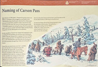
Carson Pass was named after Kit Carson; the interpretive sign tells an interesting story about this. |
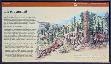
This interpretive sign for the "Devil's Ladder" describes how early settlers got up and over the Sierra Nevada. |
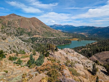
We started our hike from the Carson Pass trailhead. From behind Frog Lake, we could see Red Lake Peak and Red Lake. |
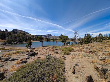
Frog Lake |

A man fishes in Frog Lake |
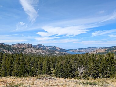
Climbing higher we could see Black Butte and Caples Lake to the northwest. |
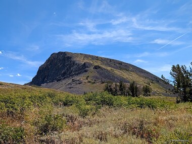
This photo shows both sides of Elephants Back: the right side is one that we've seen many times before while the left side is the view we saw for the first time today. |
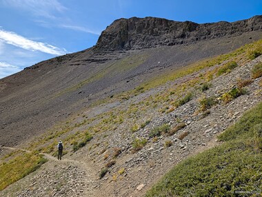
Lori is now on the Pacific Crest Trail on the back side of Elephants Back. |

Me and Lor at our turnaround spot looking back up the trail towards our lunch spot |

Thickstem aster |
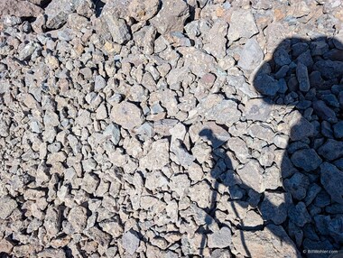
The trail consisted of small stones from the area poured into a form of larger rocks. You had to step carefully to avoid twisting your ankle. |

Looking up to Elephants Back over lots of scree |
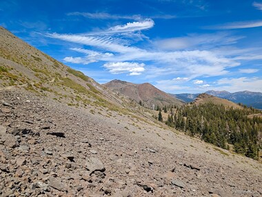
Lori is but a speck on this wall showing just how insignificant we are against the backdrop of nature. |
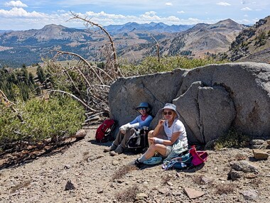
Lori and Vera take a lunch break against a cool rock |
|
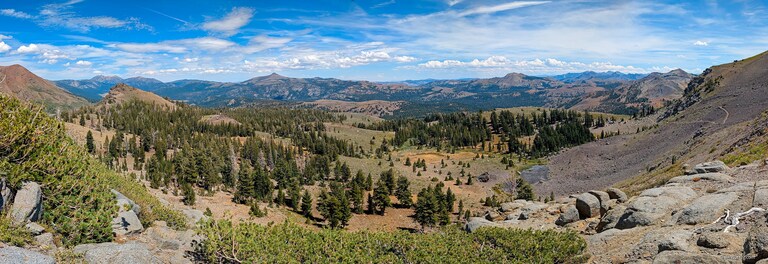
The scenic mountains to the east seem to go on and on forever. Our turnaround spot was where the trail on the right went over the ridge. |
|
|
Copyright © 2026 Bill Wohler Last modified: Sun Aug 30 05:56:11 PM PDT 2026 About photos |


Free DNS |